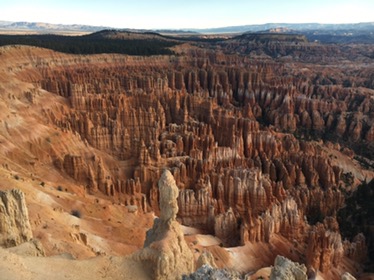
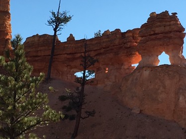
After a final couple of hikes at Bryce, including a view from above at Inspiration Point and a cool hike on Mossy Cave Trail, we headed across the scenic and at times treacherous Route 12 to make it to Capitol Reef National Park with time for a few short hikes to get the lay of the land.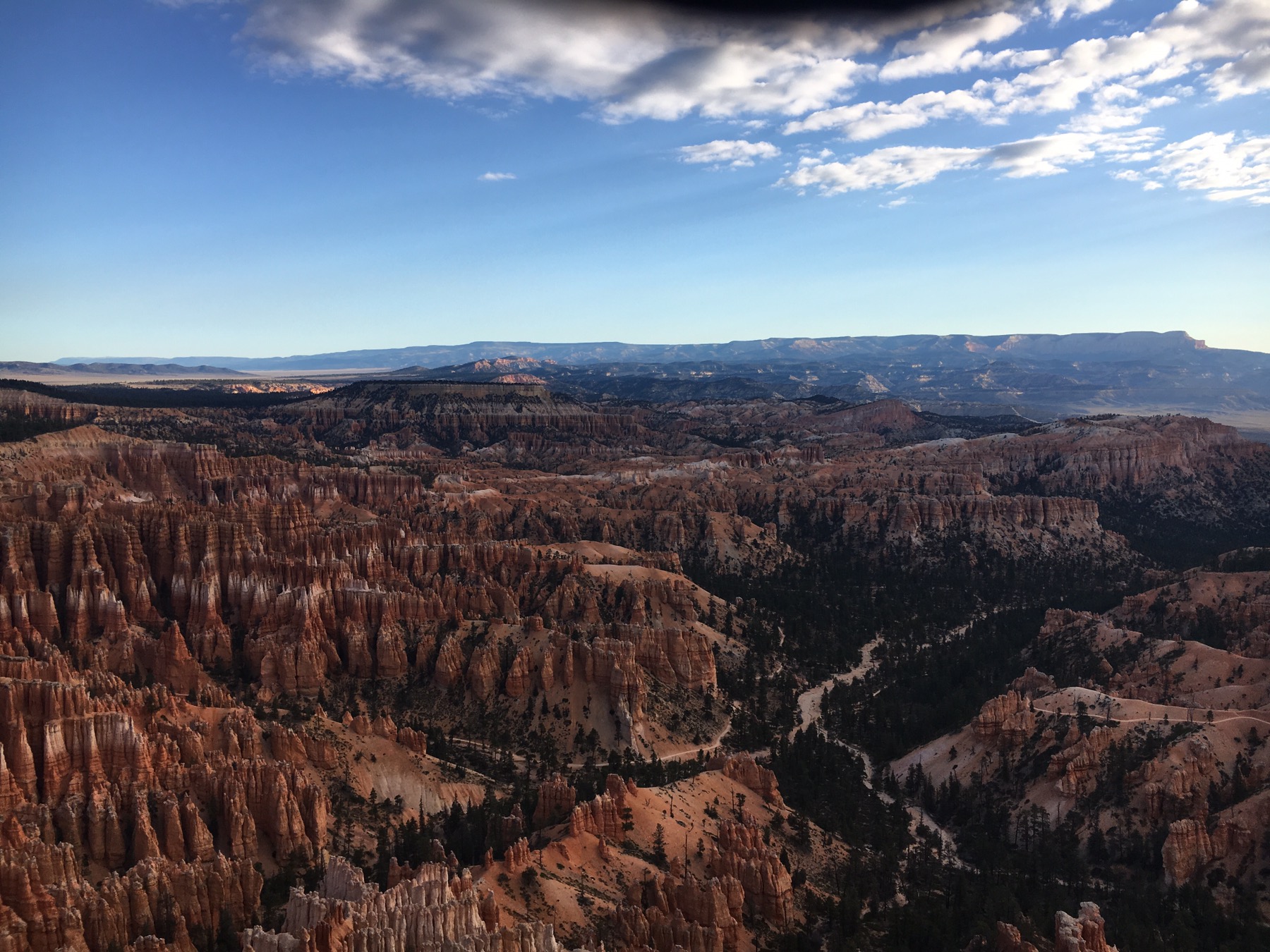
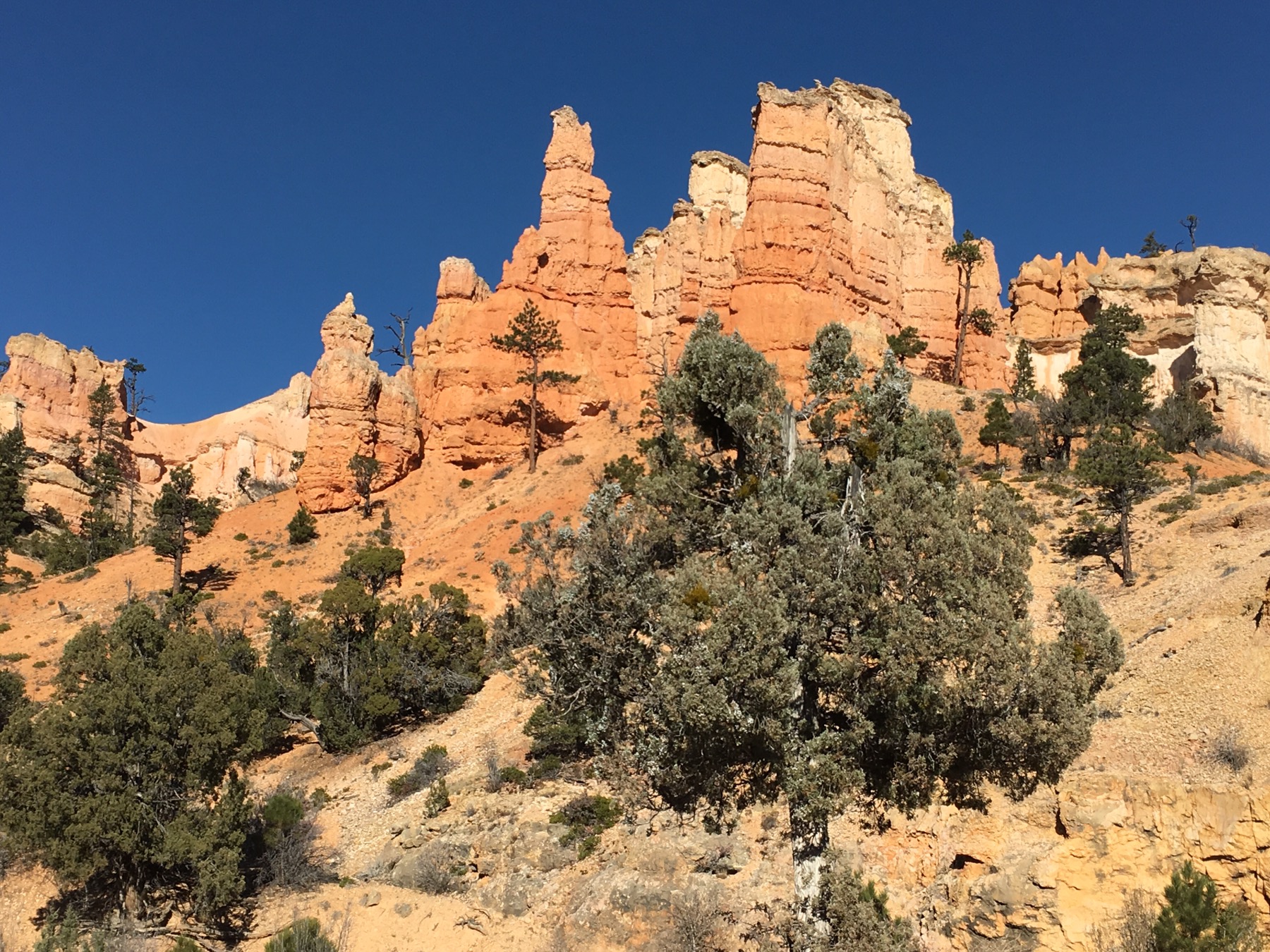
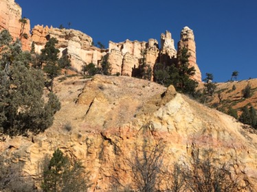
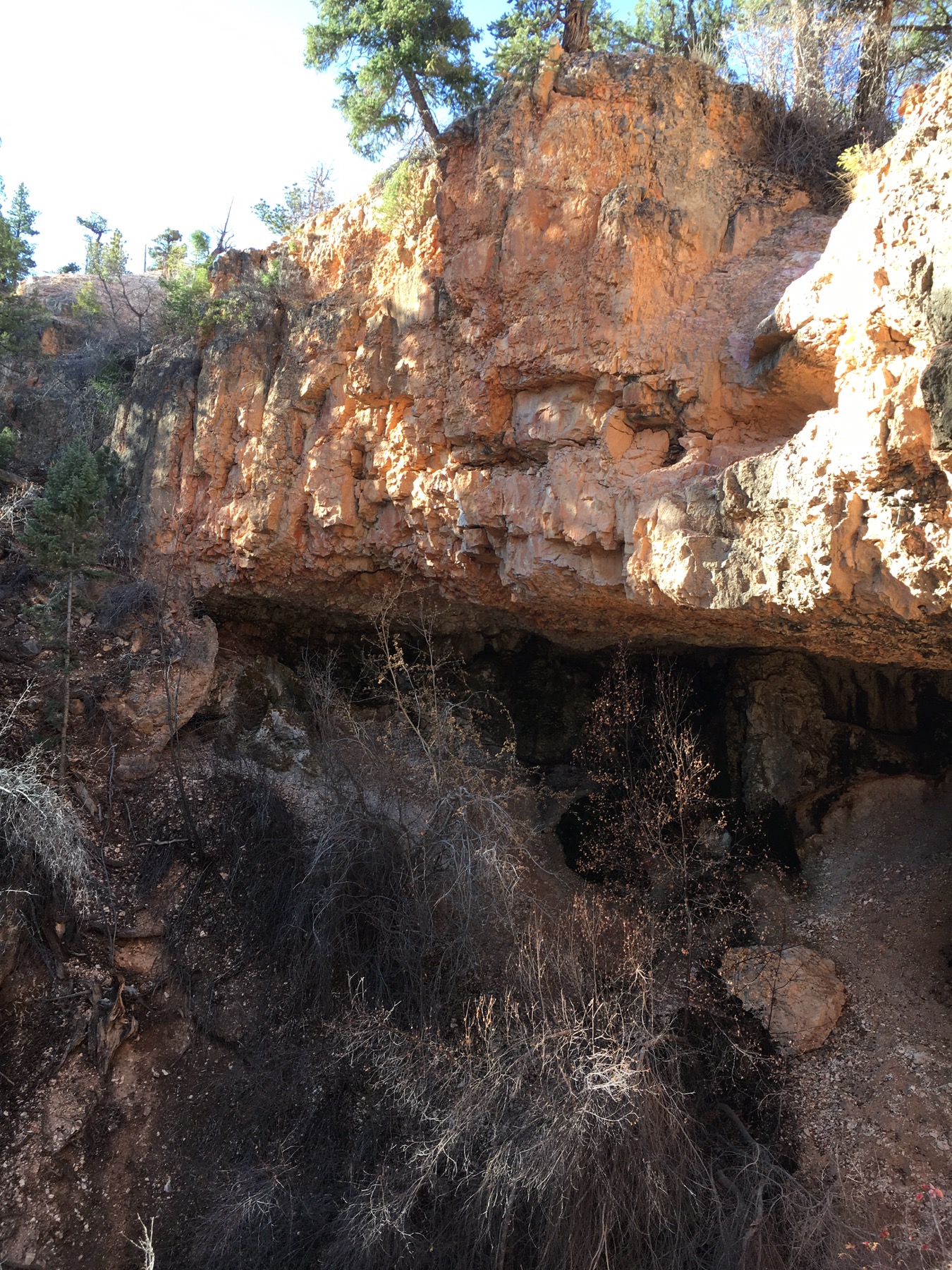

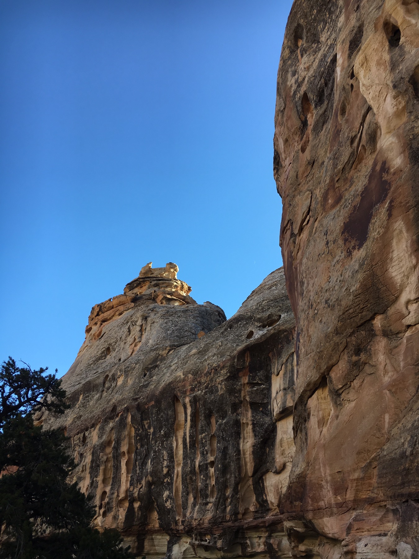
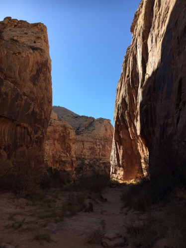
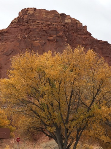
The third of our Mighty Five national parks in Utah, Capitol Reef, is a hidden gem partially due to its remote location. The park was named for a line of cliffs of white Navajo Sandstone with dome formations similar to the white domes often placed on capitol buildings. The reef refers to a rocky barrier to land travel, just as ocean reefs are barriers to sea travel. The long up-thrust formation of rocks is called the Waterpocket Fold. Most of this rugged and spectacular segment is preserved within the park. 
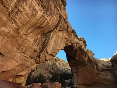
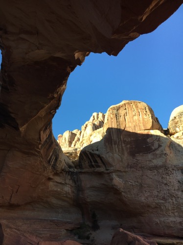
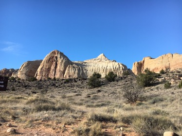


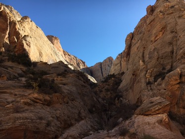
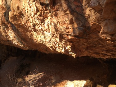
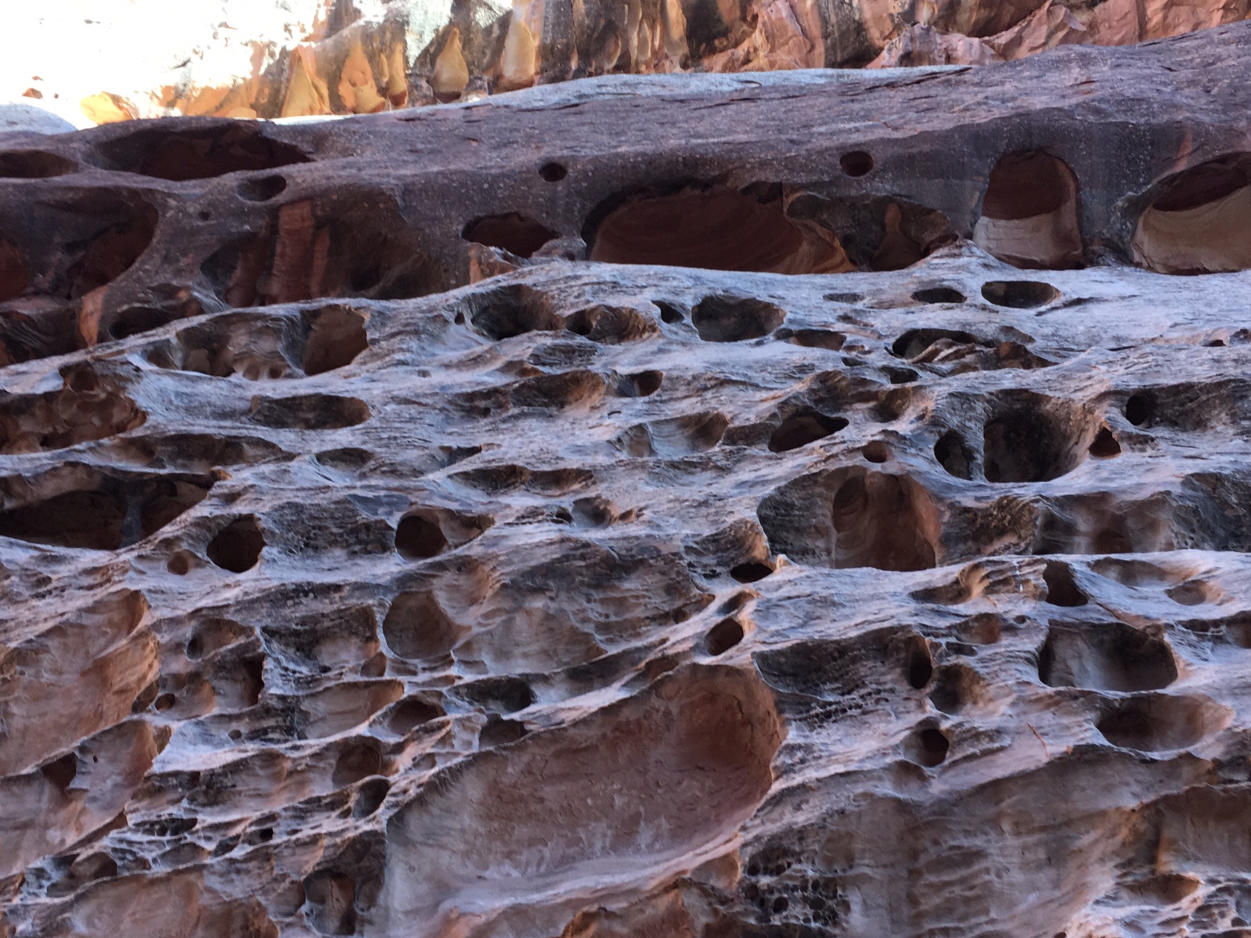
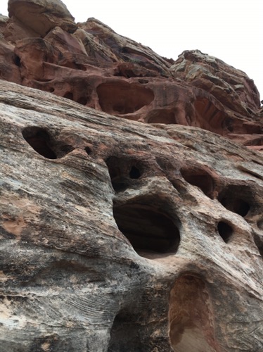
 The hiking here is more rustic and the trails are practically empty of hikers, probably due to the time of year. The terrain is quite exotic with a combination of natural arches, slickrock and caves. At times it feels like a landscape from a Planet of the Apes movie. Other areas have a sense of a long ago ocean floor. And others are entirely Wild West.
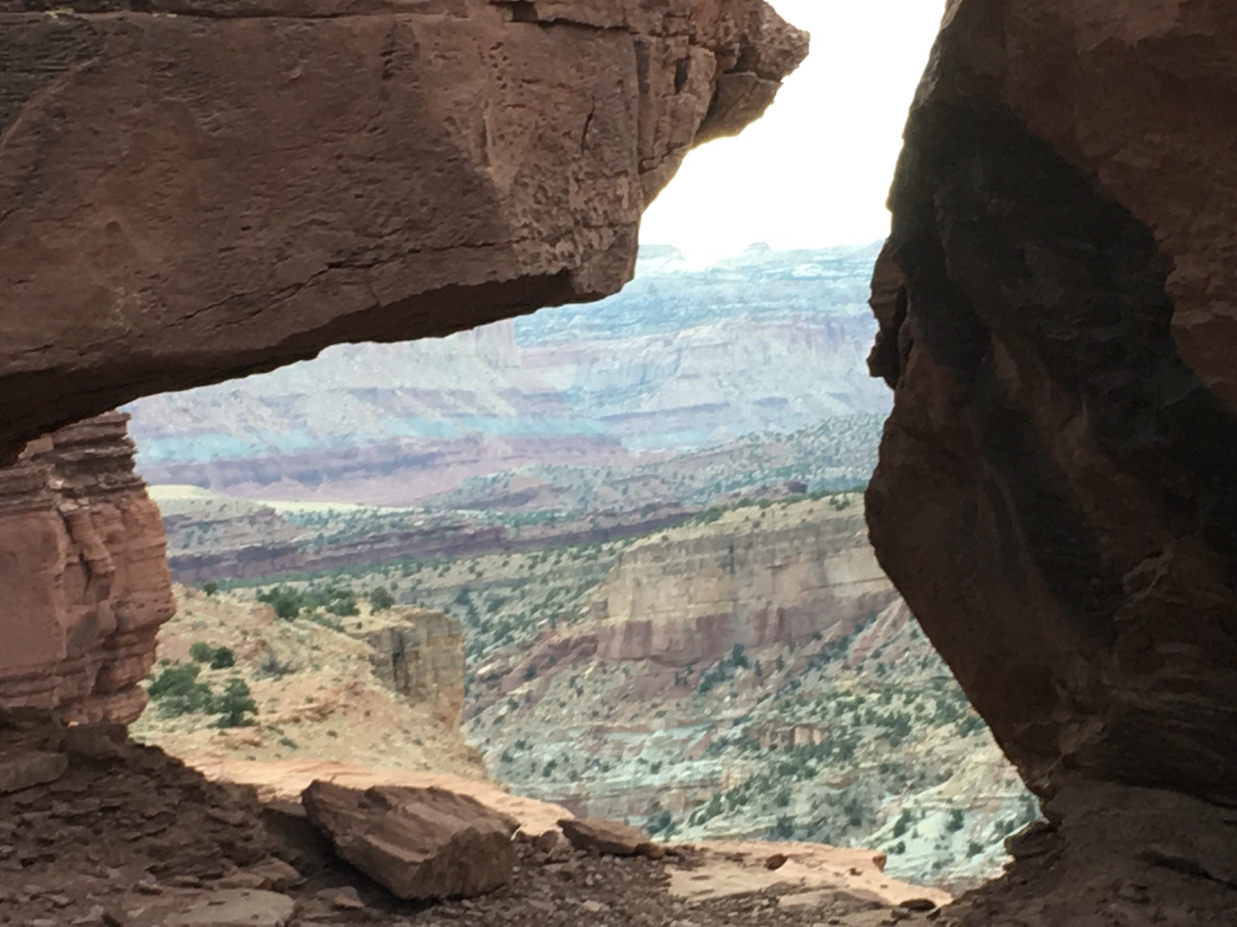
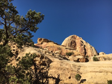


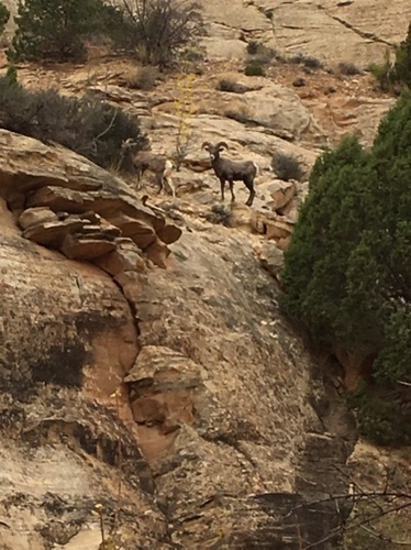
We managed to have a long horn sheep pose for us on our way to Cassidy Arch. This arch is named after the outlaw Butch Cassidy. It is rumored he hid out in this part of Utah. 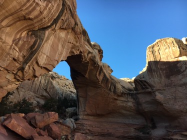
 Pictures can not capture the uniqueness of the landscapes and rock formations here. Capitol Reef is a great place to explore and hide out.
