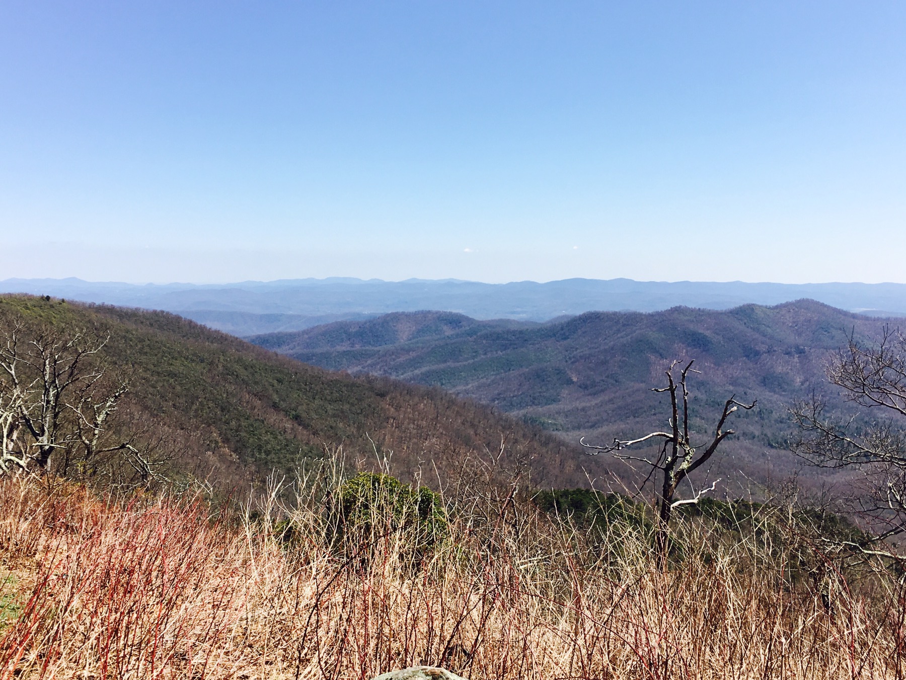
The Blue Ridge Parkway is 469 miles of twists and turns along the Smoky Mountains of North Carolina and the Blue Ridge and Appalachian Mountains in Virginia. No commercial vehicles allowed, lots of scenic overlooks and quite a few visitor centers with exhibits about the highway add to the splendor. We headed north taking in the beauty of North Carolina. Looking Glass Falls, the first National Forest (Pisgah), Looking Glass Rock (a pluton), not to be confused with the Falls, and miles of blue peaks kept us oohing and ahhing until we stopped at the Pisgah Inn.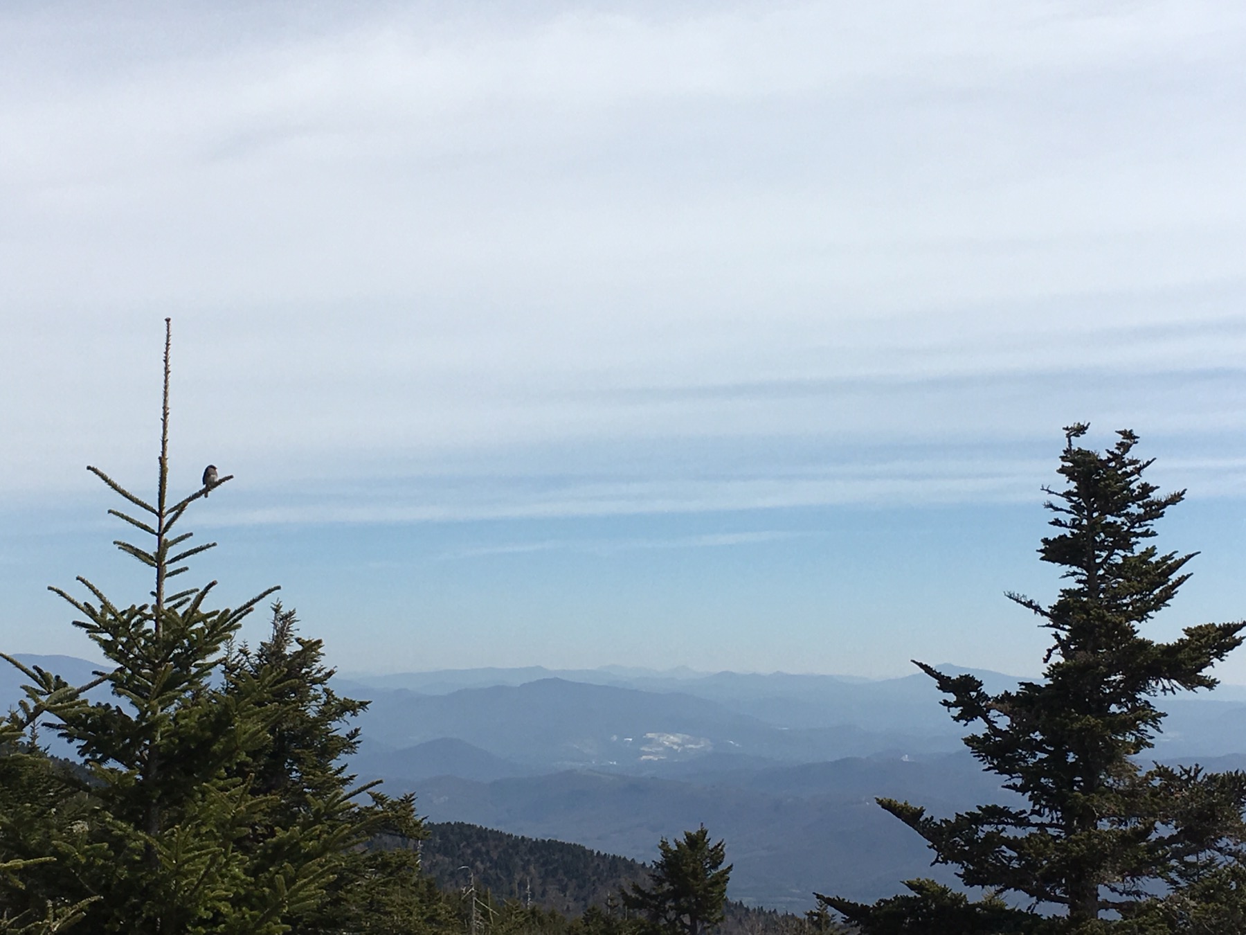


 The first Pisgah Inn opened in 1919 and welcomed weary travelers escaping lower altitudes. The name is not derived from Cherokee which is what I had assumed. The credit goes to James Hall, a preacher and soldier. After an expedition of the area in 1776 he drew the parallel with the land that Moses saw from Pisgah and gave the Biblical name to the mountain. Moses was ordered to the top of a mountain and told to look in all directions, thus revealing the Promised Land to the tribes of Israel. A Hebrew name, who would believe that?
The paved Blue Ridge Parkway through the Mt. Pisgah area opened for travel in the 1960s and the current Pisgah Inn, which was built in 1964, still welcomes travelers escaping lower elevations. We hiked the grounds, ate delicious food and enjoyed an unbroken view of the mountains from our floor to ceiling windowed room.
We continued north at a slow pace. There were more long-range vistas and rugged mountains. The early spring weather revealed a diversity of plants and animals (no bears). We made eye contact with deer, wild turkeys and even a gopher.
Mt. Mitchell is the highest peak east of the Mississippi. I would have guessed Mt. Washington in New Hampshire, but no, North Carolina wins by several hundred feet. 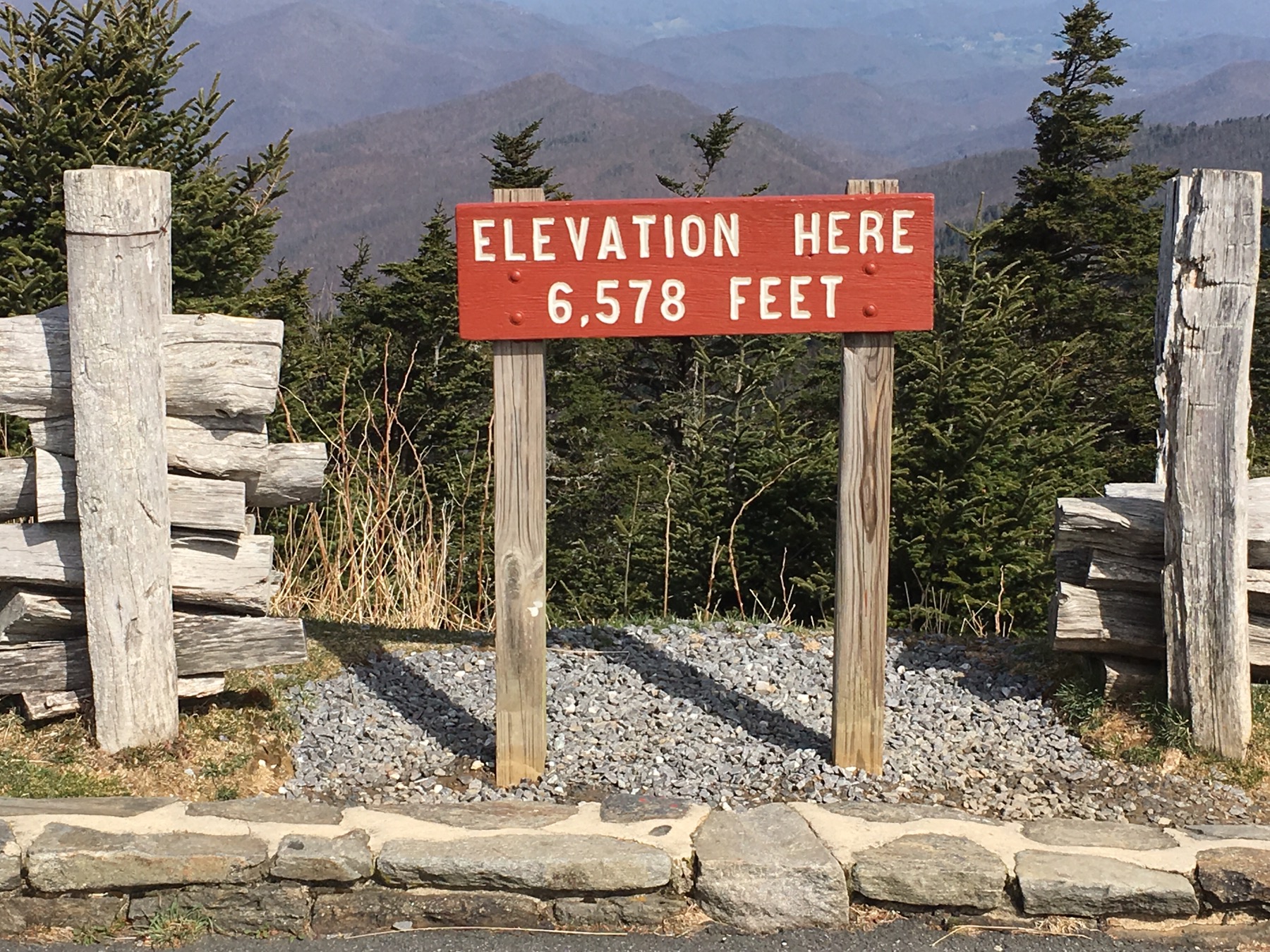
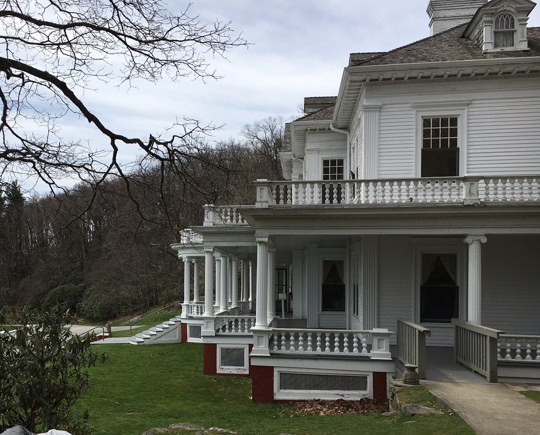
 Another stop was the Flat Top Estate which is now a craft center and recreation area. This was the mountain home of Moses H. Cone and his wife. Cone manufactured unusual textile fabrics and founded a company that became a leading manufacturer of denim. His company was a major supplier to Levi Strauss and Company for nearly a century.
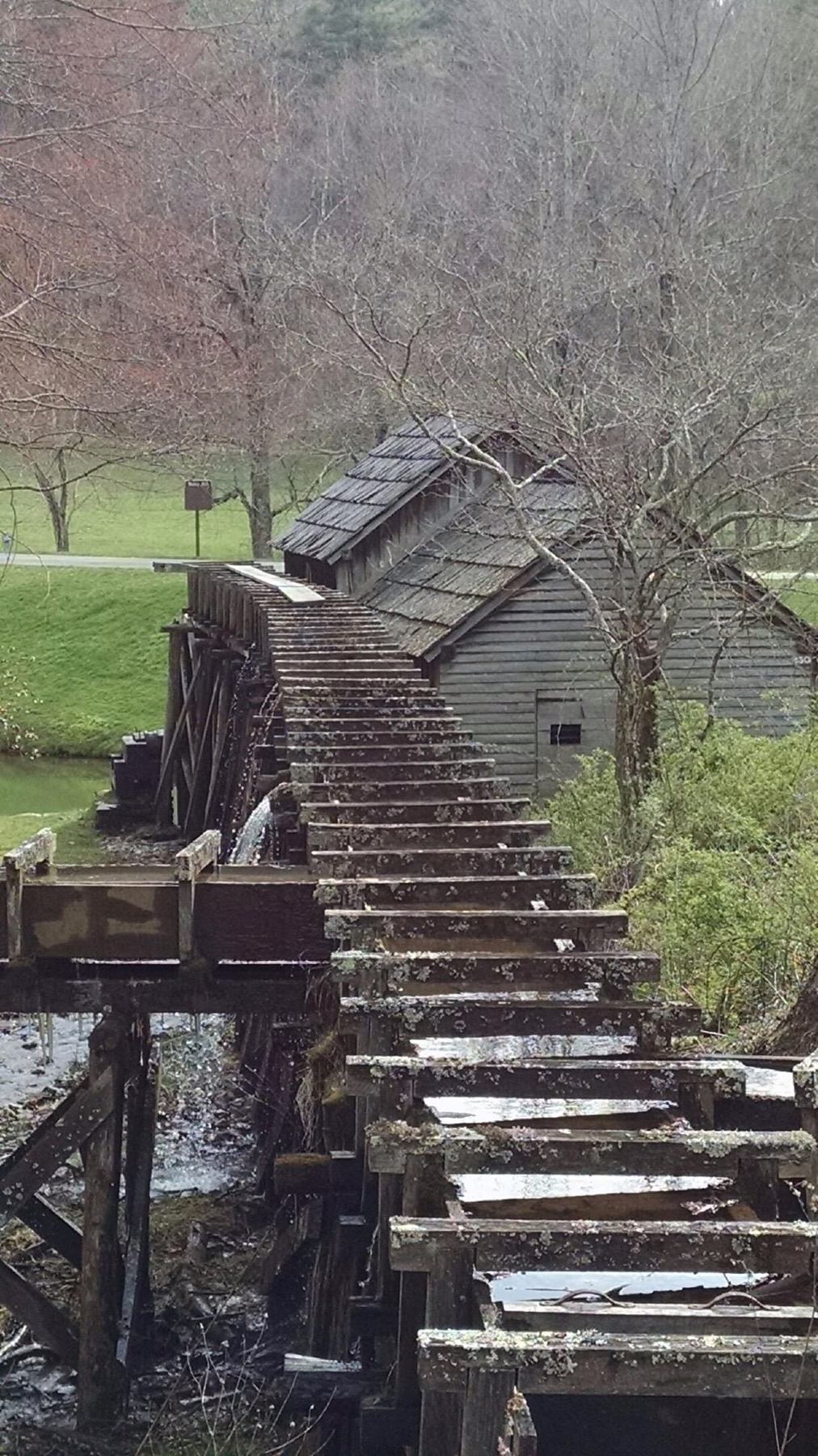
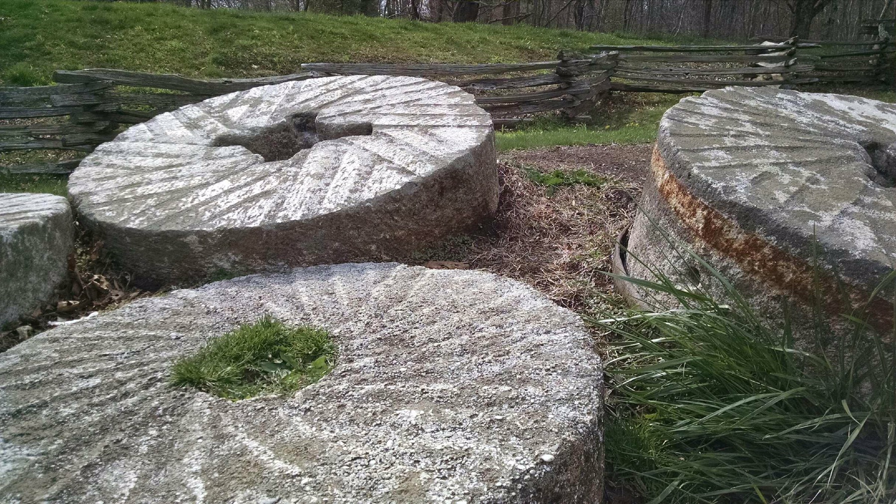
 We also visited the Mabry Mill. The Mabry family ran a grist mill, a saw mill and a blacksmith shop serving the local community for many years. Although it is no longer functioning, it is one of the most popular stops on the Parkway.
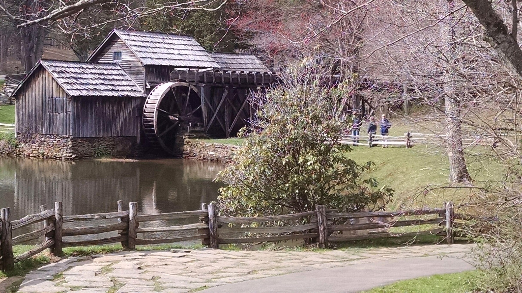
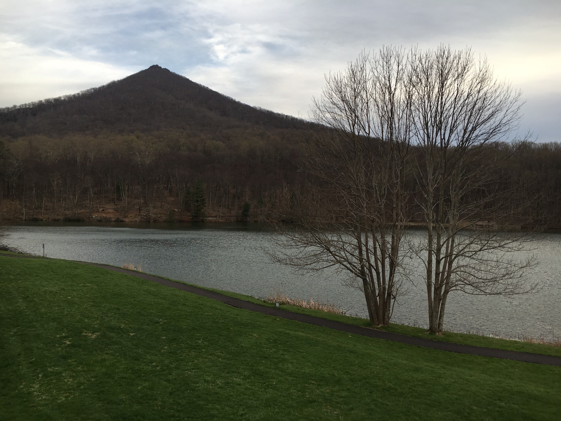
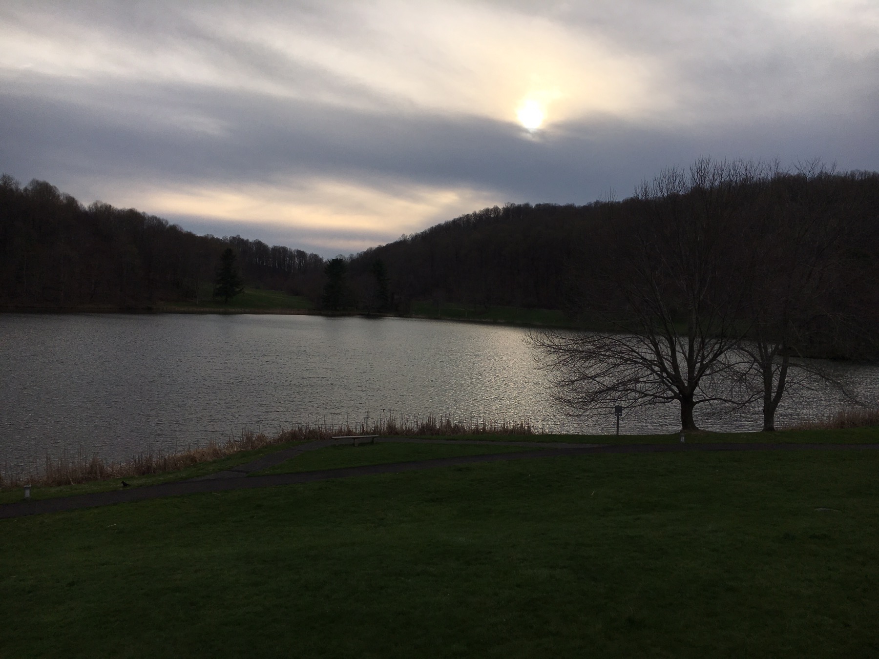
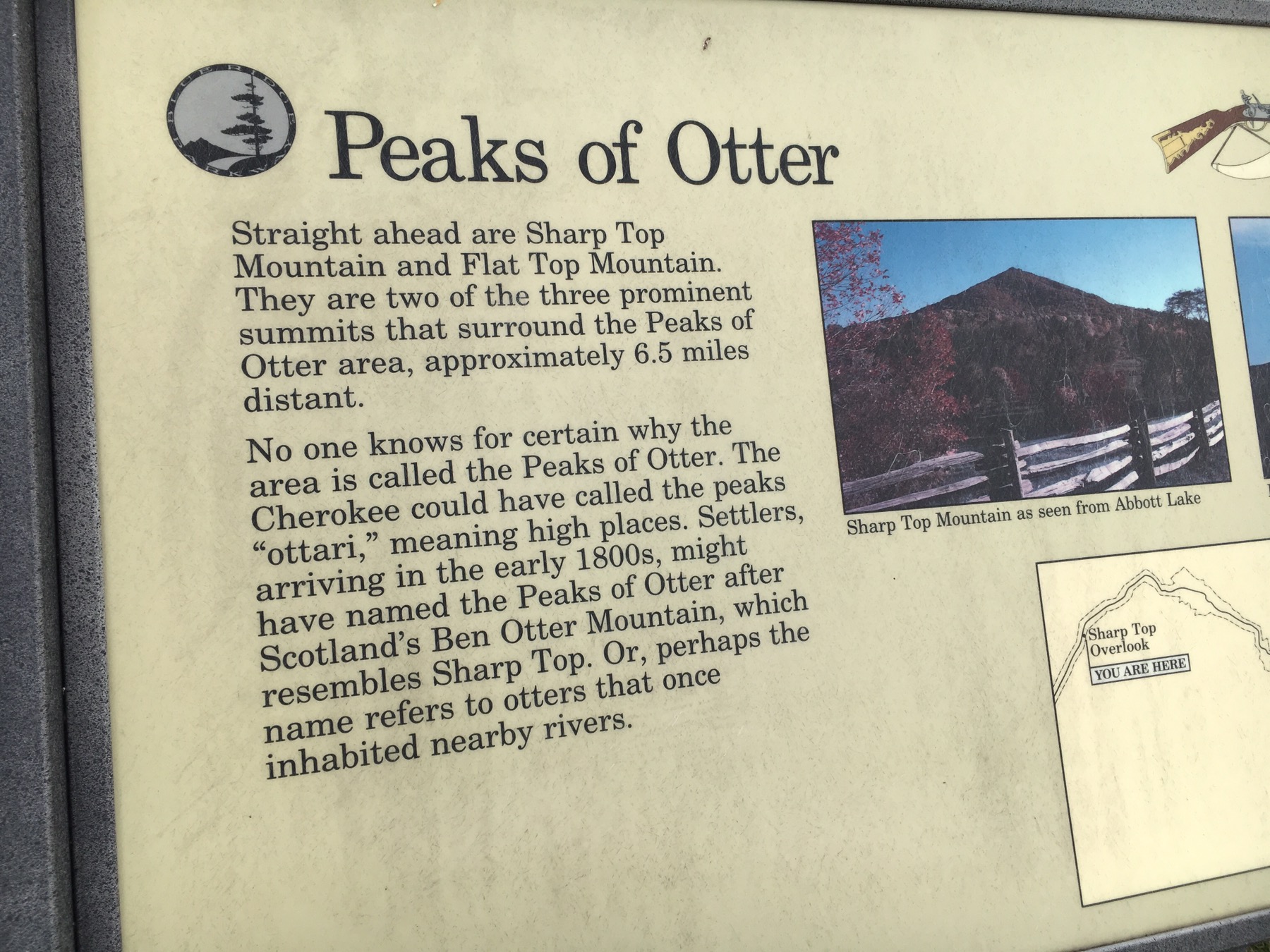
 The Peaks of Otter which may or may not have anything to do with otters was the perfect stop for the evening. The lodge looks out on a lake and the two peaks. There is a great hiking path and a lovely restaurant.
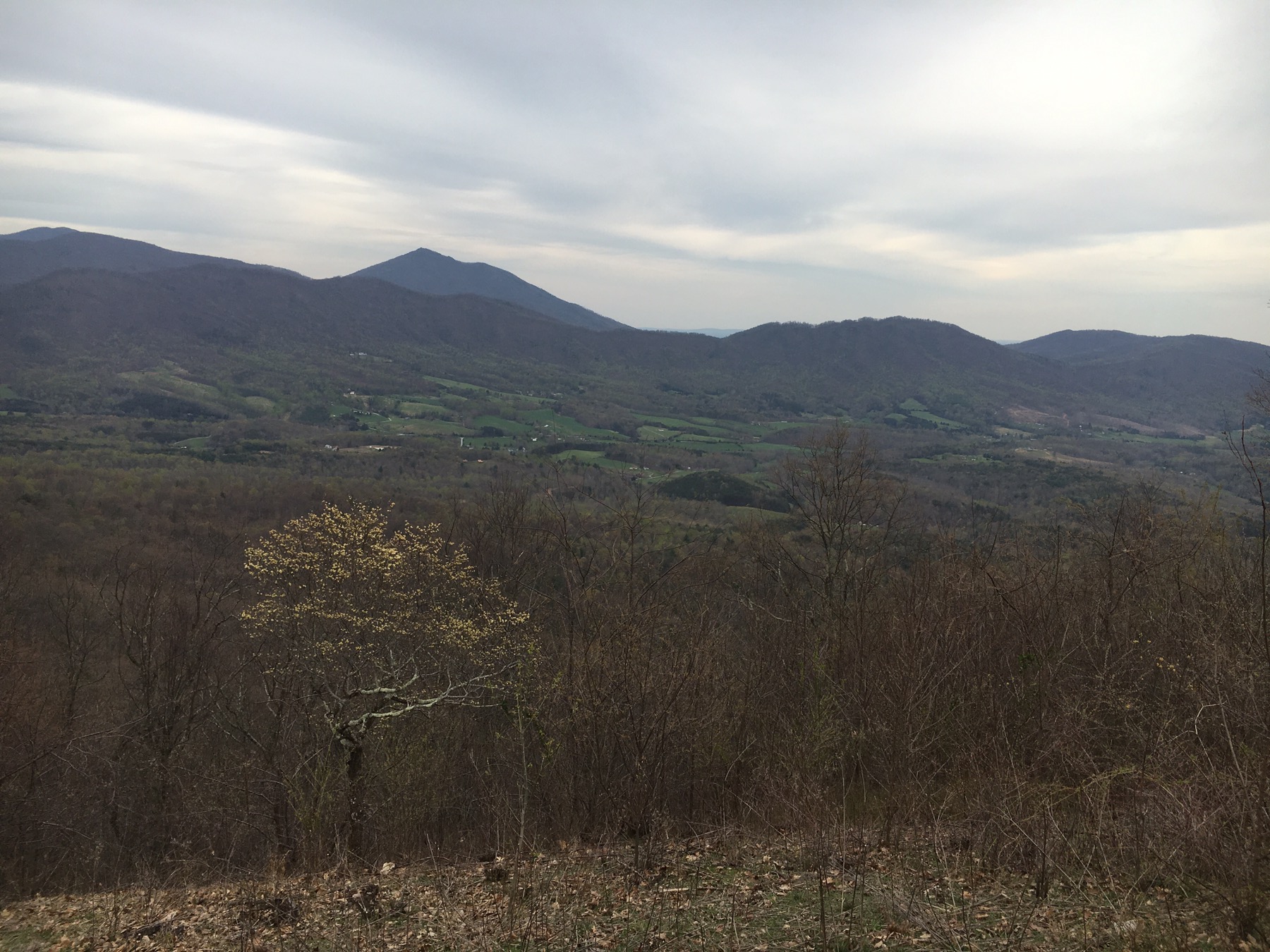
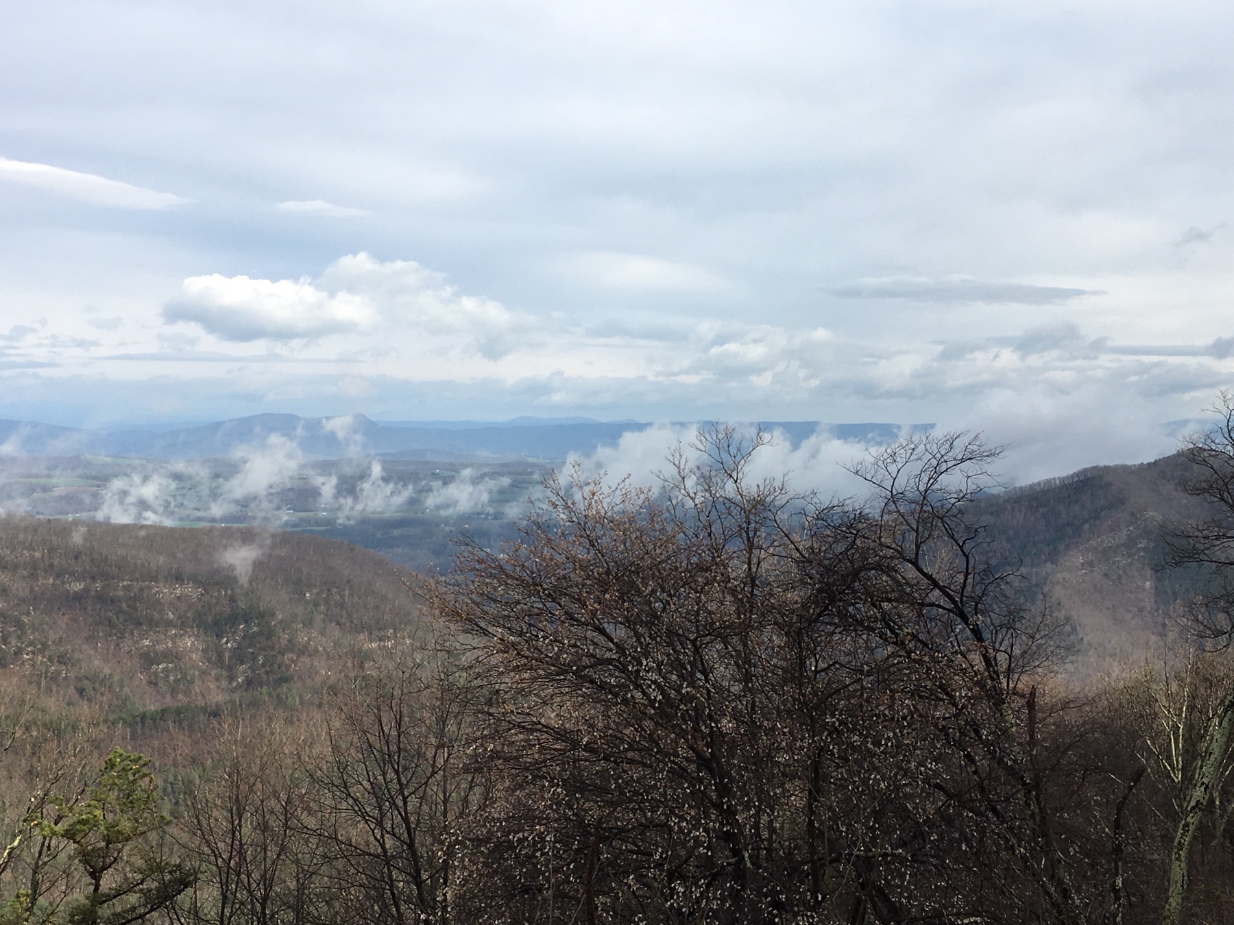
 The scenery changed with the altitude and the state. The Virginia mountains revealed valleys dotted with farms and towns. The BRP ends or begins, depending on the way you are headed, in Waynesboro, VA. The next rural highway is just feet away, Skyline Drive. We made the decision to take a detour before the next winding road.
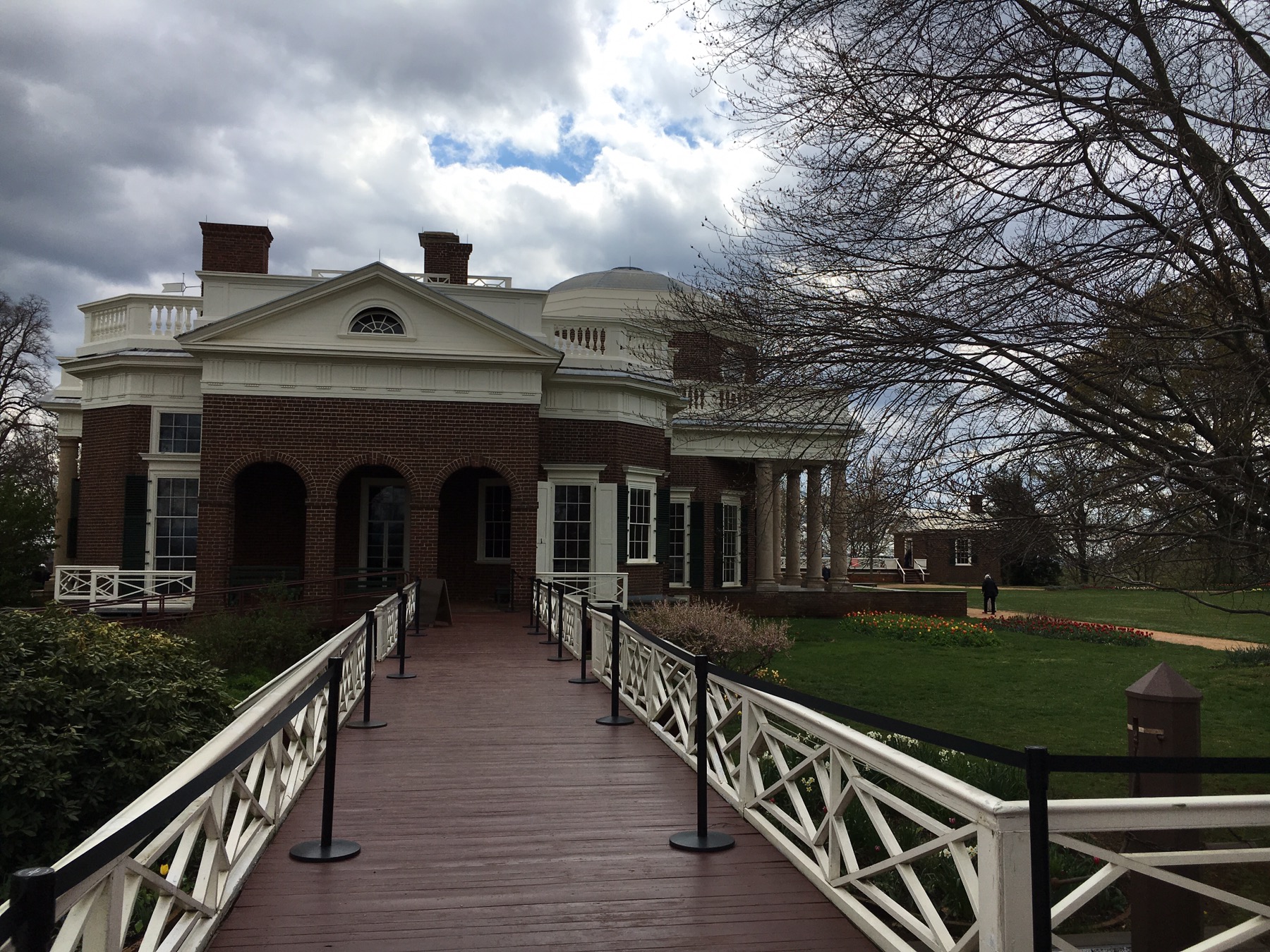
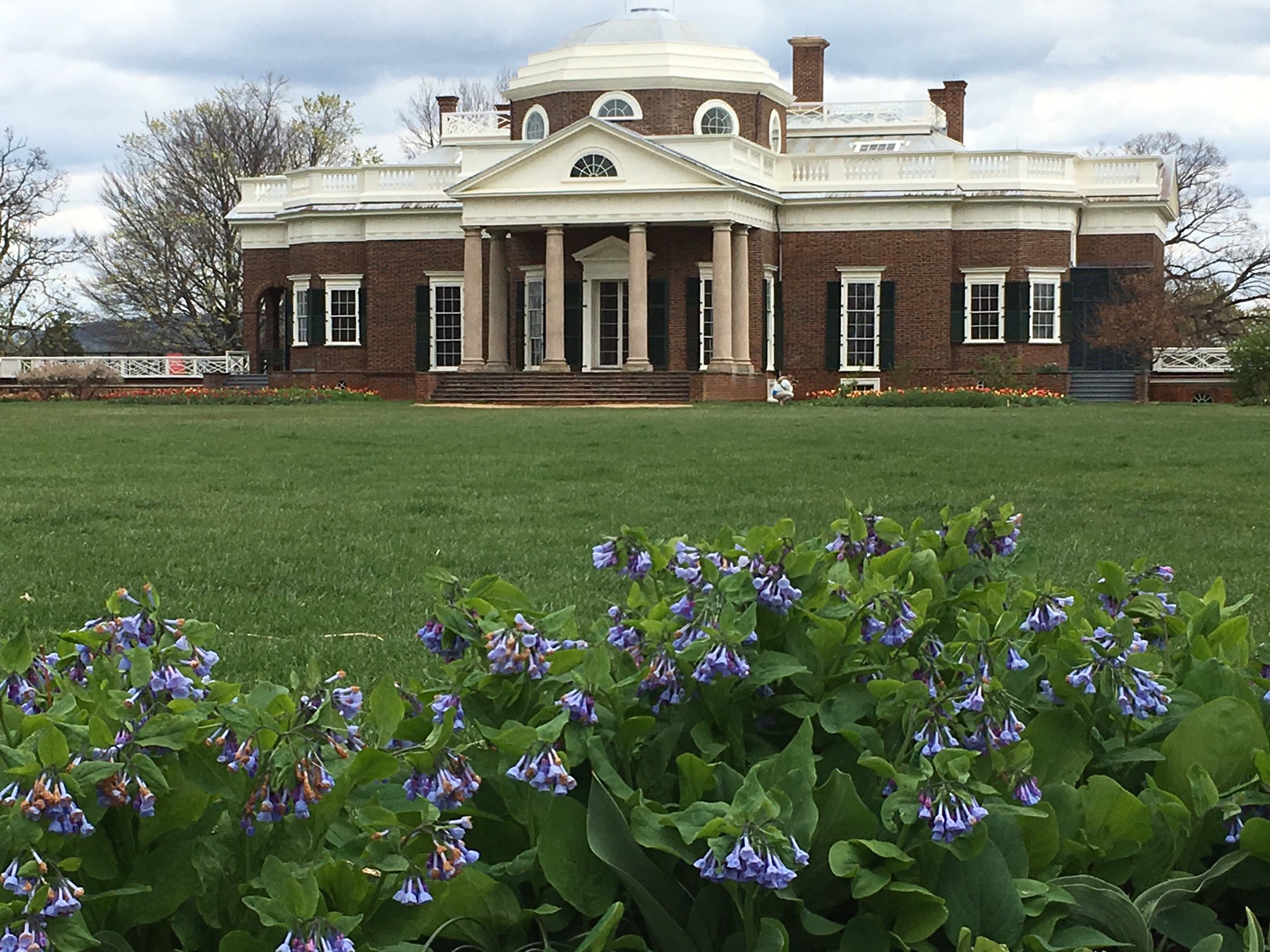
 Charlottesville is about 20 minutes from the Parkway. We went to explore Monticello, the 3,000 acre little mountain where Thomas Jefferson lived. Much more than the image on the back of a nickel, the tour of the home and gardens reveals many interesting details of the plantation and Jefferson’s life.
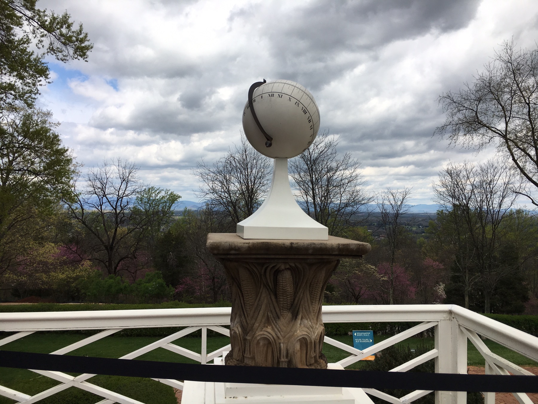


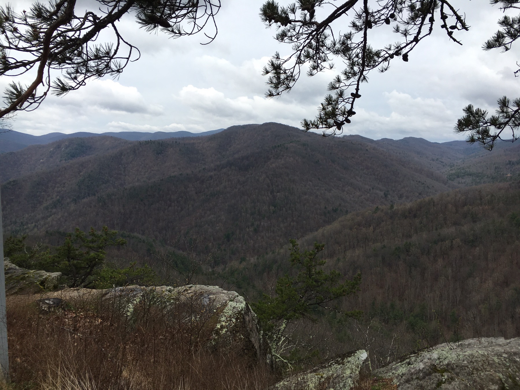
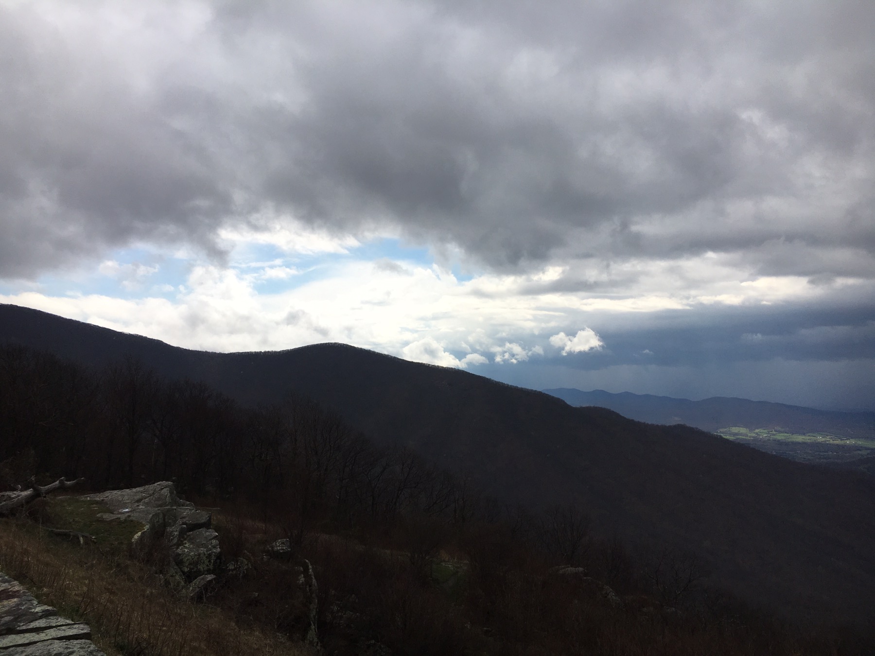
 Back to Skyline Drive. Another WPA, CCC project. Each sweep and twist of the road revealed another pastoral view of a bucolic village or farm. The threatening storms made the mountains dramatic against the rumbling clouds.
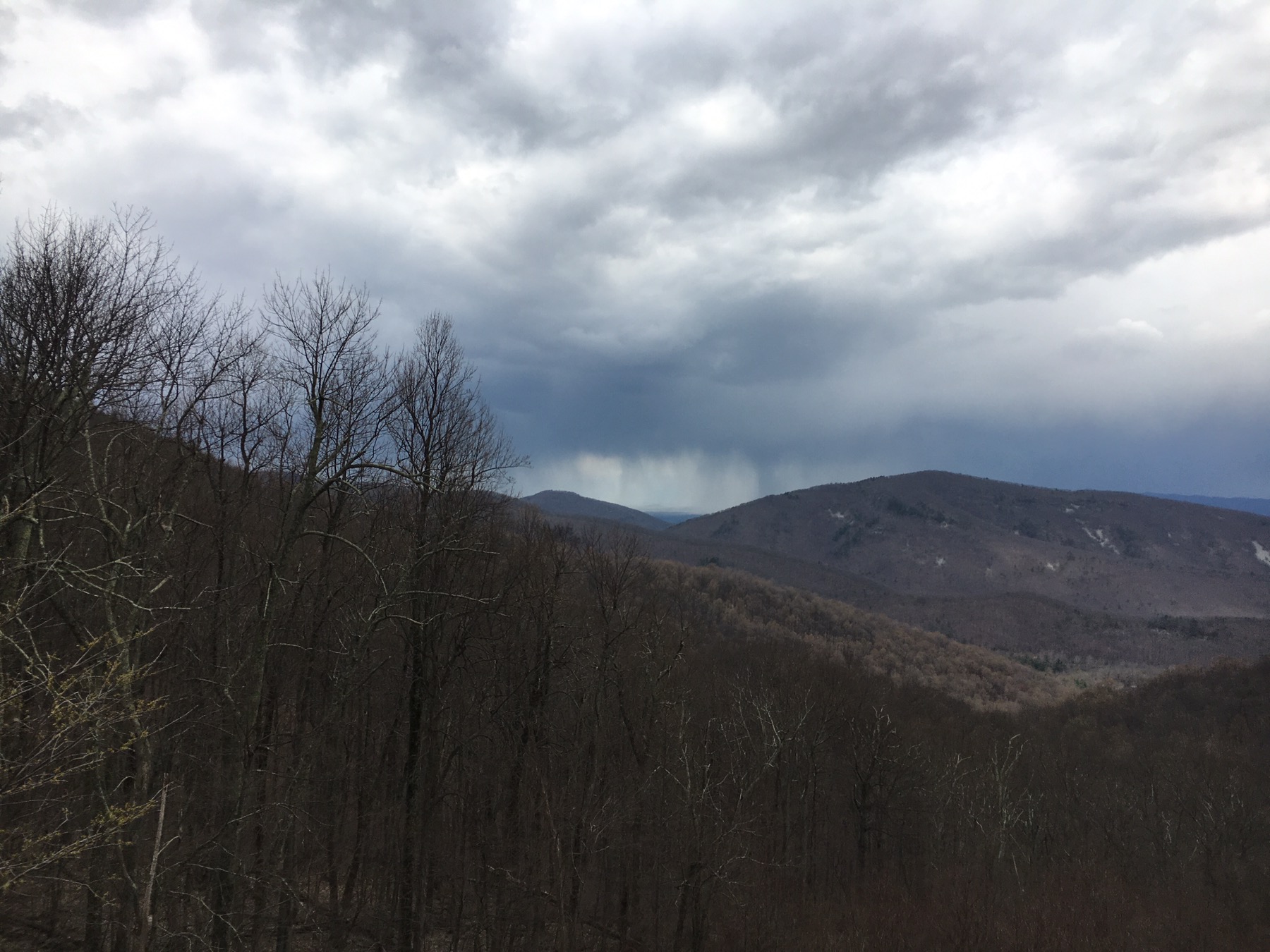
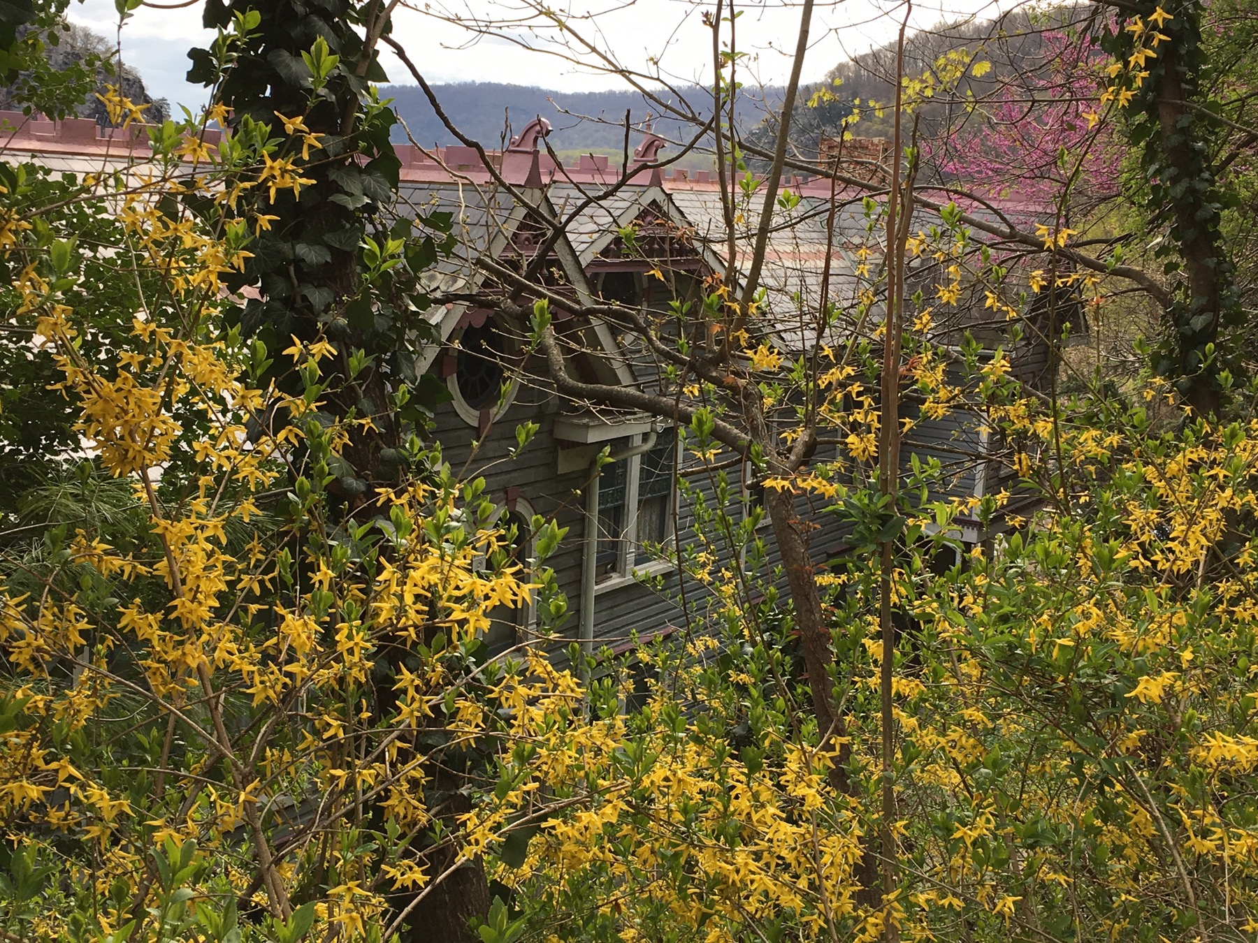
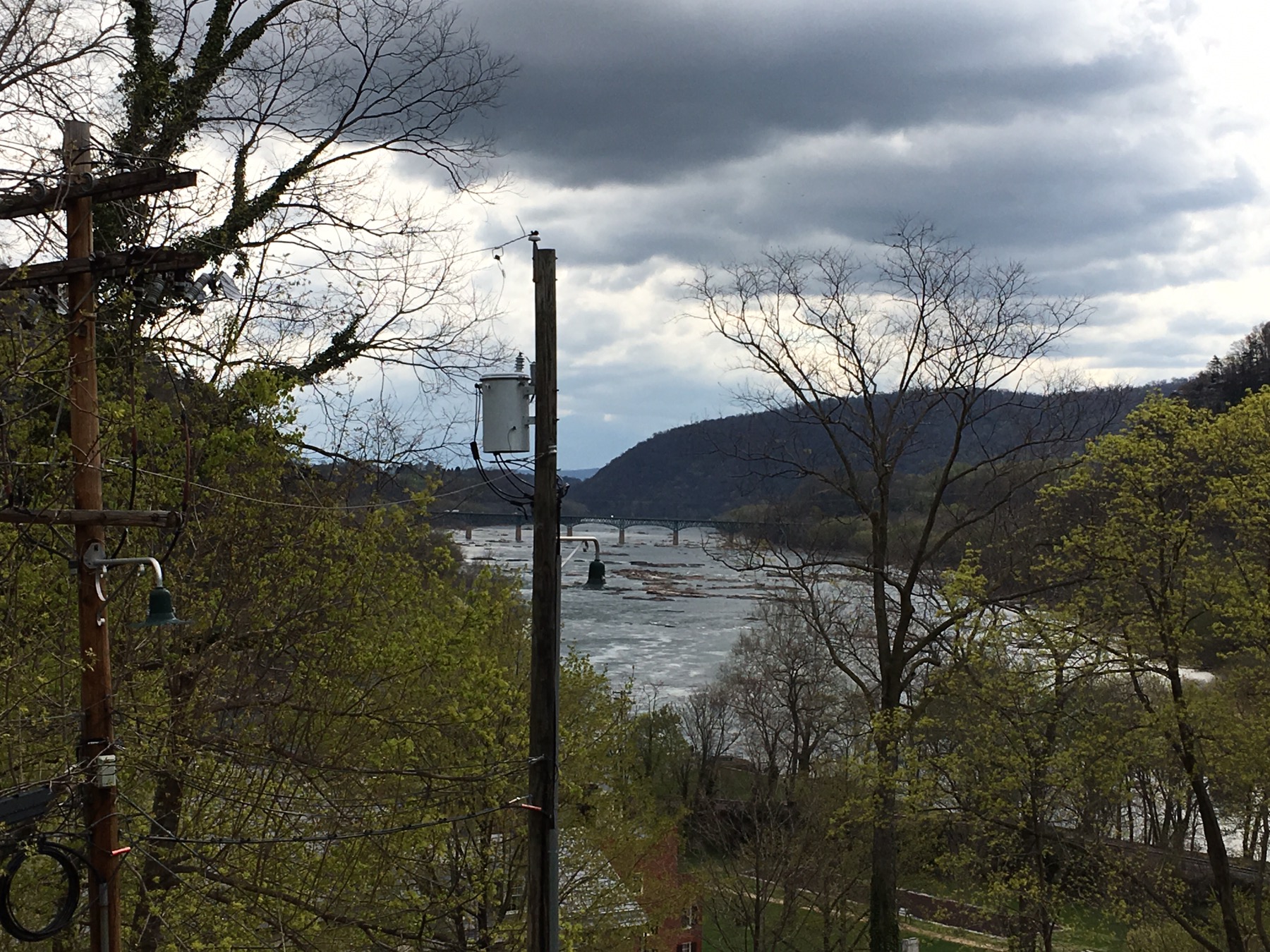
 At the end of the rainbow, we spent the night in Harpers Ferry, West Virginia.
Interesting story. As you must have noticed, there is no apostrophe in the town name. Even though Mr. Harper had a ferry and did found the town, the U.S. Government is the only country with an apostrophe-eradication policy. The program took off when President Benjamin Harrison set up the Board on Geographic Names in 1890. By one estimate, it has scrubbed 250,000 apostrophes from federal maps. The states mostly—but not always—bow to its wishes.
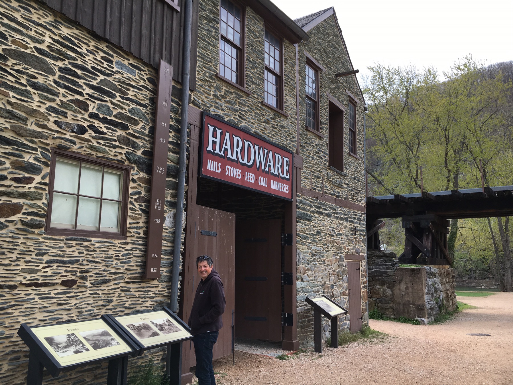
No apostrophe withstanding, the National Park is a quaint, historic community, at the meeting point of the Potomac and Shenandoah rivers. The park spans three states (WV, VA, MD). The old town, Harpers Ferry, in West Virginia, is best known for John Brown’s raid on the Armory in 1859 and its role in the American Civil War. The location is picturesque and conveniently located, however, it is in a severe flood plain. Fortunately the town became part of the National Park System in 1944 and has been well maintained and preserved after each flood. 


 After that historic site we crossed into Pennsylvania. Lititz is a bustling, authentic town in Lancaster County. It is about three centuries old and is filled with shops, eateries, the Wilbur Chocolate Company and the oldest pretzel bakery in the U.S., Julius Sturgis, where you can twist your own pretzel. Twisty roads and twisting pretzels along with some delicious Wilbur Bud chocolate gave our journey the right combination of salt and sweet.
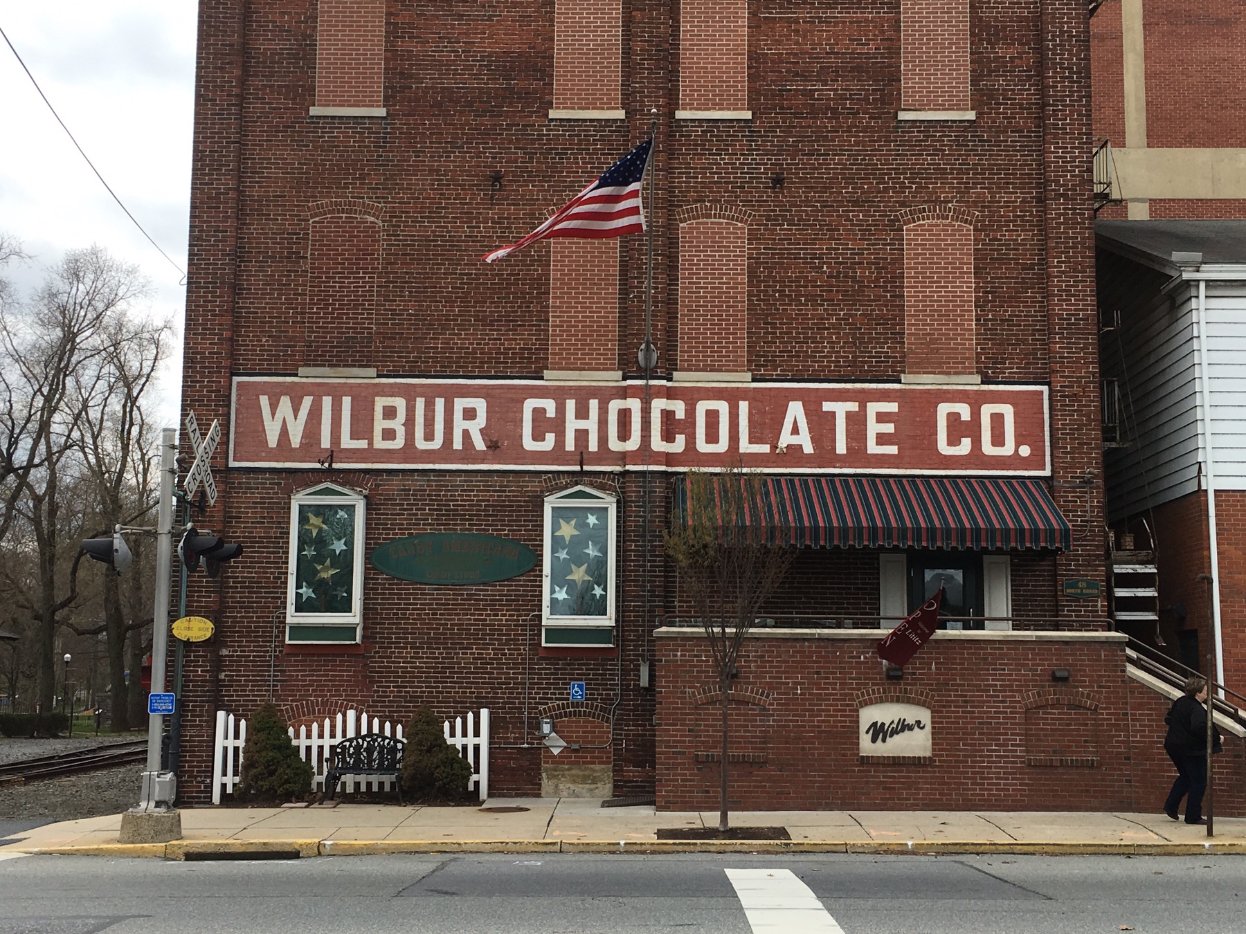
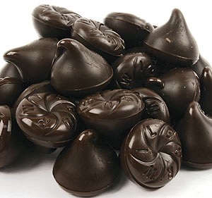

My aunt used to send me Wilbur Buds every year when I was a little girl.
LikeLike
They are still delicious!
LikeLike